Deskripsi
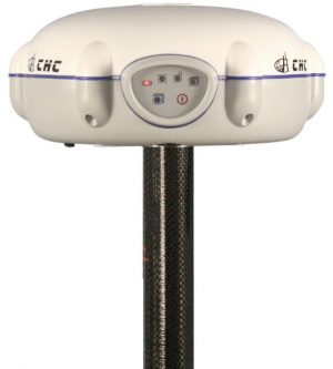
GPS GEODETIC CHC M5
Global Positioning System (GPS) is a system for determining the position on the earth’s surface with the help of satellite signal synchronization. This system uses 24 satellites that send microwave signals to Earth. This signal is received by the receiver on the surface, and is used to determine the location, speed, direction, and time. Systems similar to GPS include Russian GLONASS, European Union Galileo, India’s IRNSS.
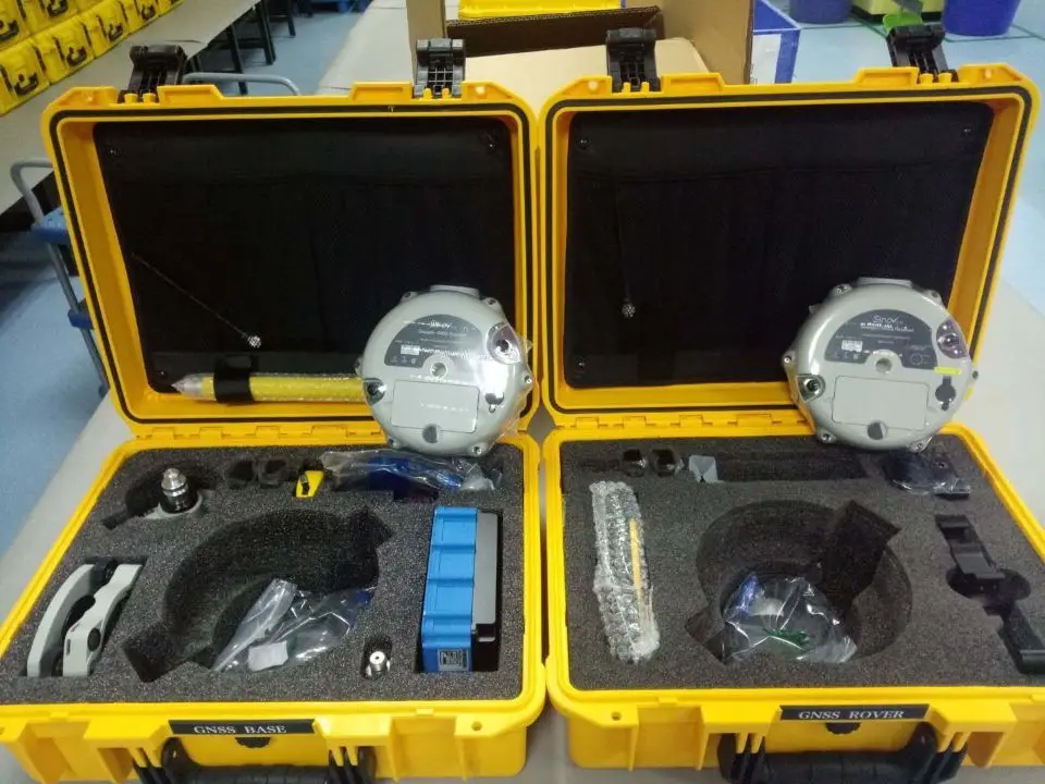
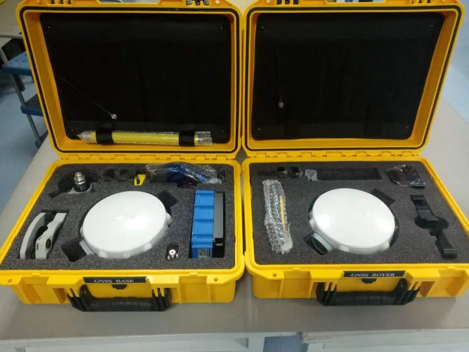
384-Channel CHC M5 RTK GPS Dasar dan Rover RTK GNSS RECEIVER untuk Survei Geodesi
fitur:
- 384 saluran multi satelit pelacakan mendukung GPS, Glonass, BDS to gurrantee RTK data akurat dan dapat diandalkan;
Perfect kompatibel dengan Android berbasis software survei lapangan Landstar 7, kompatibel dengan berbagai survei instrumen dan aksesoris;
mengintegrasikan built-in inti GNSS, multi antena satelit, bluetooth komunikasi, RX UHF data link dan modul jaringan;
GPS GEODETIC CHC M5
The M5 GNSS receiver dari Sinov memanfaatkan terbaru GNSS
teknologi dengan mengintegrasikan 384 saluran dengan kemampuan untuk melacak GPS, GLONASS dan Beidou dan bidang software didedikasikan untuk survei topografi dan konstruksi. The M5 series adalah salah satu biaya yang paling efektif GNSS receiver dipilih oleh jumlah besar surveyor untuk pertunjukan yang luar biasa dan kehandalan.
luar biasa RTK Pertunjukan
The M5 menawarkan lebih fungsionalitas GNSS pertunjukan dengan terbukti dan inovatif. bukti masa depan multi & pemalu; konstelasi pelacakan
teknologi Spesifikasi:
1.akurasi:
Real Time Kinematika (RTK):
horisontal: 10mm + 1ppm RMS
vertikal: 15mm + 1ppm RMS
inisialisasi waktu: < 10 s
inisialisasi keandalan: khas > 99.9%
Pengolahan pasca Statis:
horisontal: 8mm + 1ppm RMS
vertikal: 10mm + ppm RMS
komunikasi:
1 RS232 port serial;
1 kecepatan tinggi USB;
terintegrasi GSM/GPRS modem;
Integrated Bluetooth ® kelas 2;
Radio modem eksternal DL6 Tx: 1 W-28 W adjustable;
Radio modem internal Rx: 450-470 MHz;
Kineta Survey Jakarta is one of the businesses engaged in the sale of survey and mapping tools for Jakarta, which is located at Jl. Raya Petojo Binatu III No. 28 Kineta Jakarta, as a center for surveying and mapping tools, provides complete products such as Total Station, Digital Theodolite, GPS, Compass, Automatic Level Waterpass and others.
Kineta Survey Jakarta is the center of excellent service for survey instruments by providing quality products and official guarantees. Entrust your needs for survey and mapping tools only at Kineta Survey Jakarta.

 Contac :

Ulasan
Belum ada ulasan.